Digitalisation
Data analytics and geospatial technologies help us improve the way we plan. Such capabilities, part of an ongoing digitalisation effort at URA, help our planners gain deeper insights and make more robust, data-driven decisions to create better outcomes and meet Singapore’s long-term planning needs.

Fostering Inter-Agency Collaboration
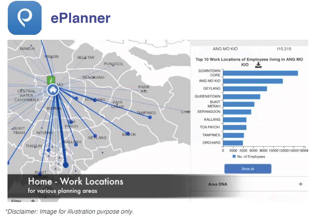
We have developed in-house planning tools to enable planners to easily visualise, analyse, and overlay rich sets of information (e.g. population, housing, employment, mobility, social facilities).
ePlanner, our geospatial urban planning analytics system, pulls together information from various sources, enabling advanced spatial visualisation and analysis of data. It provides planners from URA and other agencies with quantitative and qualitative insights to enrich traditional ways of information gathering such as through numerous site visits, extensive groundwork and talking to communities. With a system that facilitates coordination among agencies and integrated planning, planners now have a more holistic understanding of the ground and are better positioned to anticipate changes that lie ahead.

Keeping the Public Informed URA SPACE, a one-stop geospatial platform, is designed so that professionals, businesses, and the public can obtain information on planning regulations more efficiently. It also serves to help streamline application processes. Users can access information related to Master Plans, urban design guidelines, private property use and approvals, car park locations and availability, private residential property transactions, and past development approvals.
Cultivating Private-Public Partnerships Businesses are evolving with technological advancements, resulting in new challenges and complexities that can impact planning requirements.
Partners with data-rich operations can help to keep abreast of changes that influence planning decisions. Through collaborative partnerships between the public and private sector, we can develop joint analytics capabilities for meaningful outcomes, gain better insights on the consumption of services, and become more responsive to people’s needs.
For example, our partnership with Grab to jointly study the travel patterns of local commuters on ride hailing services will help urban planners better understand commuting patterns as well as preferences for different modes of travel. This information will potentially help planners make more robust decisions when planning for land use and infrastructure to improve travel time and convenience for commuters.

